South Georgia Geographic Information System
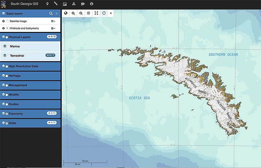
The South Georgia Geographic Information System (SGGIS) enables researchers and the public to access spatially explicit information about the islands’ environmental landscape.
The Government of South Georgia & the South Sandwich Islands commissioned GIS developers at British Antarctic Survey (BAS) to create the SGGIS. It combines a detailed interactive map of South Georgia with a variety of information such as the topography, vegetation and glacier change to historic sites, protected areas and distributions of various animals, such as seals and penguins.
It has been comprehensively updated in 2016-17 and now also includes high-resolution mapping data for key areas.
The South Georgia Geographic Information System can be viewed here. There is no login requirement.


